| Formats | JPG, PDF, SVG, AI |
| Resolution | 300dpi |
| Dimensions | 300dpi: 5000 x 3750 px |
| Version | 1.2 |
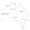
Are you a geography enthusiast, student, or teacher looking for an accurate map of Australia? Look no further than our labeled map of Australia, which showcases all the States and Territories of this vast and diverse country. Our map is an essential resource for anyone interested in Australia’s geography, and its administrative divisions. Let’s explore the features of our labeled map of Australia in more detail.
About Our Labeled Map of Australia
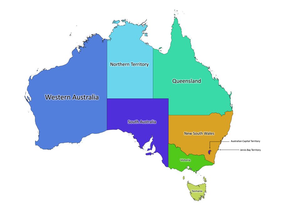
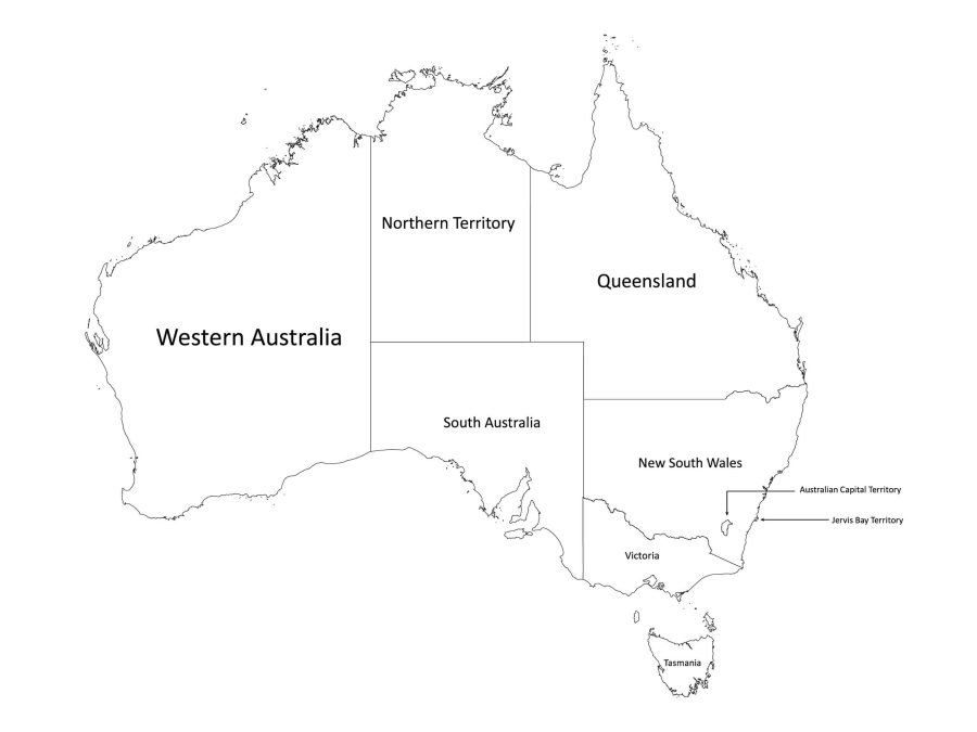
Our labeled map of Australia is a high-quality digital map available for download. The map is available in both black and white and colored versions, allowing you to choose the version that best suits your needs.
File Formats Available
We understand the importance of having a map in the format that works best for you. That’s why we’ve made our labeled map of Australia available in five different file formats: PDF, JPEG, SVG, and AI. Whether you need a map for a school project, a presentation, or personal use, our labeled map of Australia has you covered.
Get to Know Australia
The Location of Australia on the World Map
Australia is a unique and distinct continent located in the southern hemisphere of the world map. It is situated between the Indian and Pacific Oceans, and it is the only country that occupies an entire continent. The country’s neighboring countries include Indonesia, East Timor, and Papua New Guinea to the north, the Solomon Islands, Vanuatu, and New Caledonia to the northeast, and New Zealand to the southeast.
Australia’s Level One Administrative Divisions
Australia is divided into six States and two Territories. The following is a list of Australia’s level one administrative divisions, specifying if they are a State or Territory:
- New South Wales (State)
- Queensland (State)
- South Australia (State)
- Tasmania (State)
- Victoria (State)
- Western Australia (State)
- Australian Capital Territory (Territory)
- Northern Territory (Territory)
With our labeled map of Australia, you can easily study and memorize the names and locations of each of these administrative divisions.
Population of Australia
As of 2021, the population of Australia is estimated to be approximately 25.8 million people. The country has a diverse population, with Indigenous Australians being the country’s first inhabitants. The population is largely concentrated in urban areas, with the majority living in the major cities of Sydney, Melbourne, Brisbane, Perth, and Adelaide.
The Size of Australia
Australia is the sixth-largest country in the world, with a total area of approximately 7.7 million square kilometers. The country’s landmass is vast and diverse, with a variety of landscapes, including deserts, rainforests, beaches, and mountains. Australia is also home to several unique and iconic landmarks, including Uluru (Ayers Rock), the Great Barrier Reef, and the Sydney Opera House.
Why You Need Our Labeled Map of Australia
There are many reasons why you might need a labeled map of Australia. If you’re a student or teacher, our map can be a valuable resource for learning about Australia’s geography. It can also be used for research and data presentation as the map is fully customizable.
Our labeled map of Australia is not only accurate and detailed, but it is also easy to read and understand. With clear and concise labeling of all the States and Territories, our map makes it easy to study and memorize the names and locations of each of these places.

Reviews
There are no reviews yet